| Dublin |
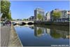
| Dublin is the capital and largest city of Ireland. Situated on Dublin Bay at the mouth of the River Liffey, it is in the province of Leinster, and is bordered on the south by the Dublin Mountains, part of the Wicklow Mountains range. A settlement was established in the area by the Gaels during or before the 7th century, followed by the Vikings. As the Kingdom of Dublin grew, it became Ireland's principal settlement by the 12th century Anglo-Norman invasion of Ireland. Dublin expanded rapidly from the 17th century and was briefly the second largest in the British Empire and sixth largest in Western Europe after the Acts of Union in 1800. Following independence in 1922, Dublin became the capital of the Irish Free State, renamed Ireland in 1937. The name Dublin comes from the Middle Irish Du(i)blind (literally "Blackpool"), from dubh "black, dark" and linn "pool". This evolved into the Early Modern Irish form Du(i)bhlinn, which was pronounced "Duílinn" in the local dialect. The name refers to a dark tidal pool on the site of the castle gardens at the rear of Dublin Castle, where the River Poddle entered the Liffey. |
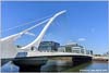
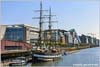
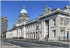
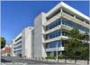
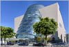
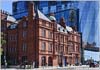
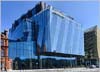
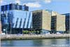
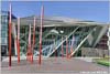
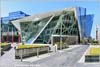
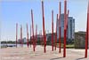
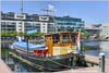
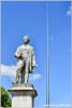
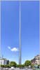
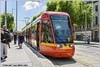
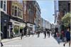
Clicking on the thumbnails takes you to larger versions. See all my images of Dublin at Alamy |


· Home Page · Site Map · What's New ·