Shropshire |
26 August 15 The Stiperstones Ridge. Mostly sunny and very clear - a few showers later.
My route started at the village of Snailbeach and took me through the old Lead Mine.
Access to most of the mine buildings is free and guided tours to the closed parts,
including the mine itself, are organised by the Shropshire Mines Trust.
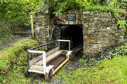
Entrance to the Day Level at the Snailbeach Lead Mine.

The Blacksmith's Shop.
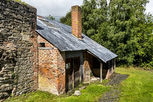
The Blacksmith's Shop.
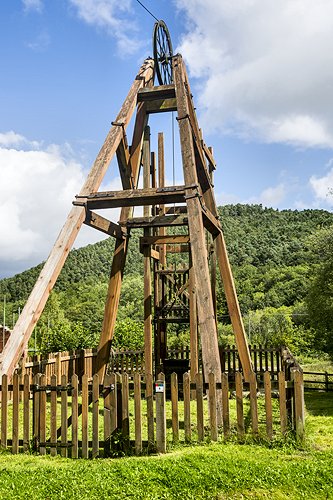
Reproduction wooden headgear at the George's Shaft.
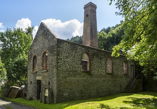
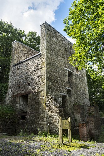
The Compressor House.

Shaking Tables, used for sieving ore into different sizes.
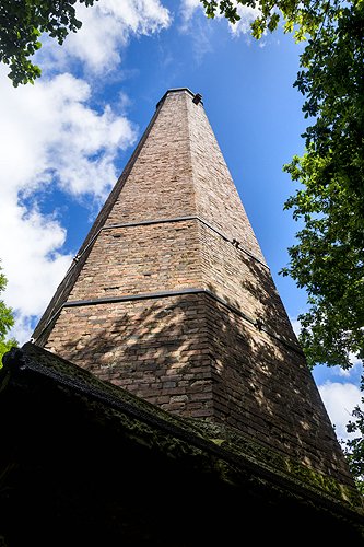
The Resting Hill chimney.
The Engine Shaft building.

A splendid fungus.
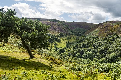
Heading onto the tops, passing one of the steep sided
wooded valleys known as a 'dingle'.

Looking down another dingle to Stiperstones village.
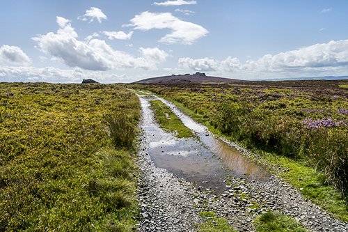
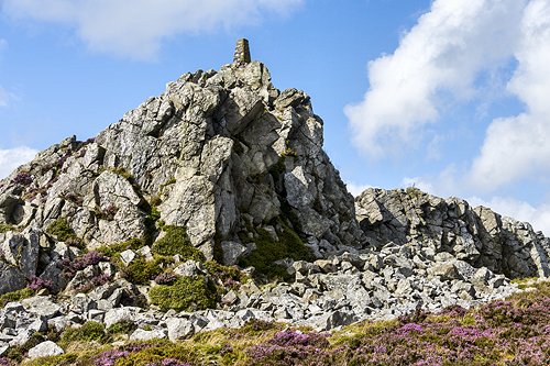
Approaching Shepherd's Rock with the Devil's Chair rocks in the distance.
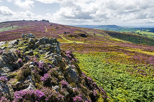
The Devil's Chair from Shepherd's Rock.

Looking back towards Shepherd's Rock (on the right).
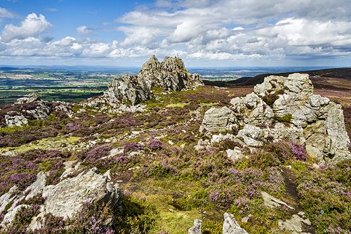
At the Devil's Chair rocks.
Corndon Hill from the Devil's Chair rocks.
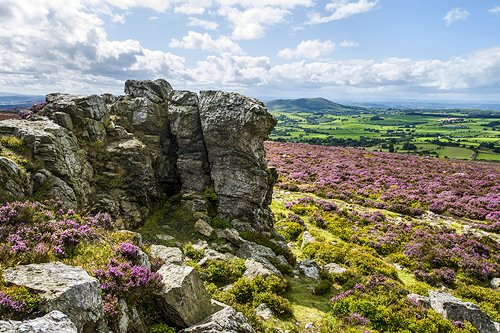
Manstone Rock from the Devil's Chair.

Manstone Rock from the Devil's Chair rocks.
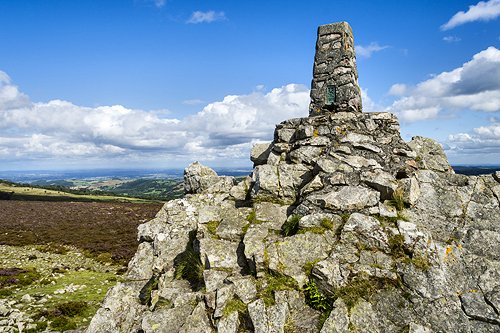
The trig point at Manstone Rock.
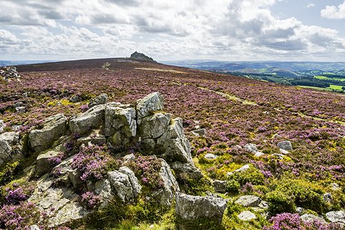
Manstone Rock, the highest point of the ridge (536m).
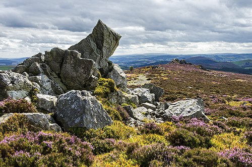
Cranberry Rock (in the middle distance on right) from near Manstone Rock.
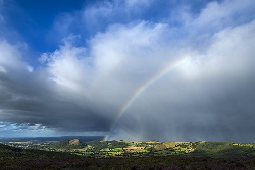
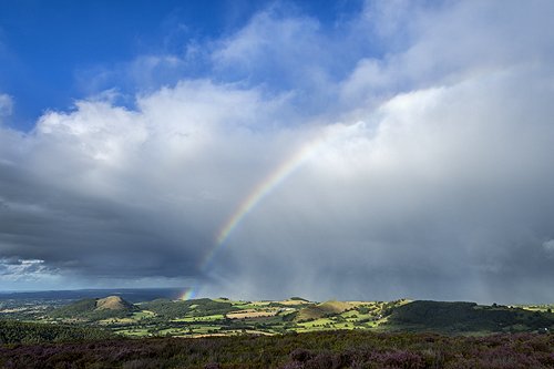
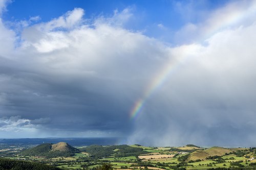
A passing storm. Fortunately it missed the Stiperstones ridge.
The prominent hill on the left is Earl's Hill near Pontesbury.
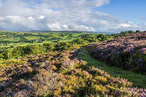
Another shot just for the hell of it.
The Long Mynd ridge from the Stiperstones ridge.

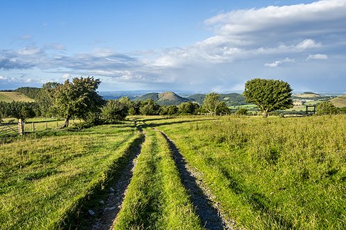
Heading back down into Snailsbeach.
Earl's Hill through 'The Hollies'.
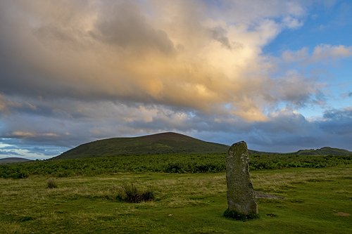
On the way back to Cardington I stopped off at the Mitchell's Fold Stone Circle,
which is almost at the Welsh border. In fact the road to it crosses into
Wales for short distance before crossing back to England.
![]()
· Home Page · Index · What's New ·